Smart land use thanks to GPS – But how?
At Volentis we keep ourselves busy each day improving our products so we can provide our customers with the best. We work really hard to achieve this. Innovation and the application of new techniques keep us very busy. The use of GPS in our production is an example of this. We’d like to tell you more about how GPS is helping us to develop the best trees in this article.
Position fixing
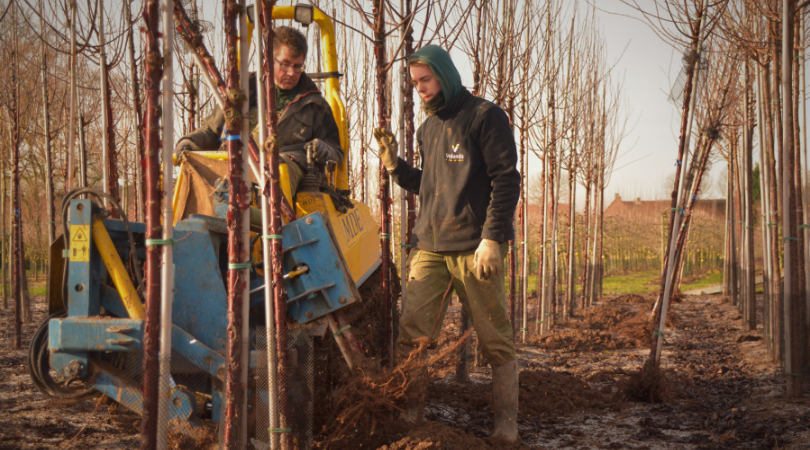
You can do an awful lot with GPS. There are many possibilities still not in use but in the future it will be increasingly integrated into our business operations. Right now we are using GPS for tree planting by accurately fixing the trees’ positions so that each tree gets planted in exactly the right place.
We survey a plot beforehand so that we understand all about its soil. Which nutrients are already present in the soil? Where can which trees best thrive there? Once we have ascertained all this information we draw up the layout. We’ll tell you more about this next. We set the desired distance between each tree and decide which type will be planted where. Then, when you arrive at the location, you can start planting immediately. You don’t have to do any measuring first. That saves us a huge amount of work.
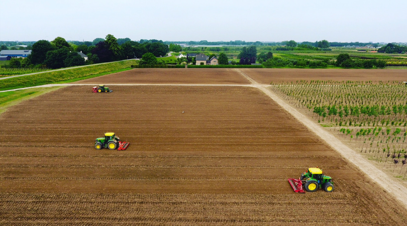
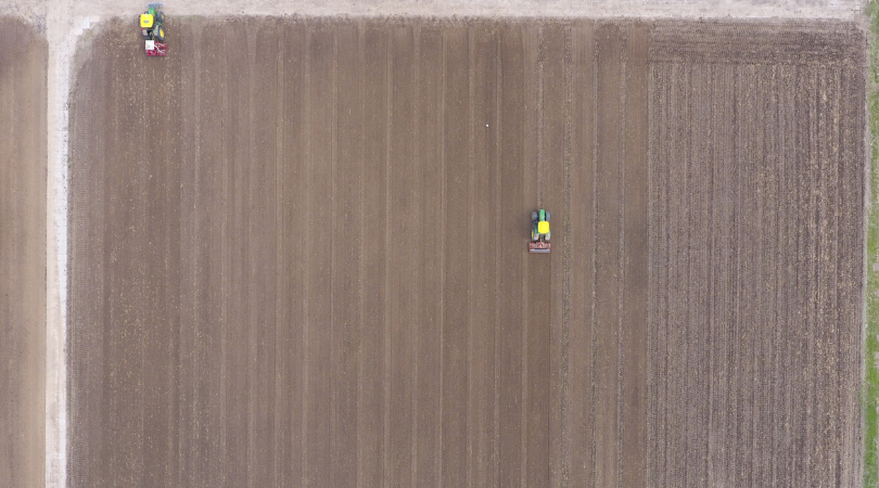
Controlled traffic
In the Volentis fields we make use of controlled traffic. A machine never drives over certain parts of the plot. It drives with its wheels on both sides of a pre-determined line. It never moves over the place where a tree will be planted thus ensuring healthier soil. GPS helps us to achieve controlled traffic.
Fertilising
As part of planting, we also immediately decide what’s going in the ground. This means we always know which tree type is going to be planted where and how many of them there will be. Later on the fertilising can be adjusted accordingly. Not every tree needs a lot of fertiliser. Slow-growing trees have a different feeding pattern from fast-growing trees. Our knowledge about which trees are where enables us to make optimal use of the fertiliser.
We can also carry out soil scans using GPS. These scans help us adjust the fertiliser and planting plans. Ultimately, it’s we who are adapting to the soil and not the other way round. In this way you know for certain that you’re planting the right product in the right place.
More possibilities
GPS also offers opportunities for automating and digitising cultivation. We can have tractors operating without the need for a driver. But there will always be work that needs the human touch left for our people.
Would you like to know more about how Volentis is using GPS? Get in touch with us and we’ll be happy to tell you more! And don’t forget to follow us on LinkedIn or Instagram!